Have you ever felt an urge to run from sea level to the summit of Mt. Adams (12,276 ft/3,742m), the second highest peak in Washington State and the third highest peak in the Cascades Range? While this would never occur to me, I hope the Gorge(ous)2Adams 100 challenge may be for you.

The Route
The route starts on the North side of the Bridge of the Gods (Cascade Locks). You will hop on the Pacific Crest Trail (PCT) and stay on it until you reach the north-west side of Mt. Adams (mile 90 or so, at the intersection with the Killen Creek trail #113). You will then head up the High Camp Trail #10 and ascend Mt. Adams on the North Cleaver route, then descend on the traditional South Spur route. The finish will be at the Cold Springs trailhead, where—hopefully—someone will be waiting for you with a cold beer because, as far as I know, there are actually no cold springs there.
The route is pretty much exactly 100 miles long (actually more like 110mi) and involves about 25,000ft of climbing (actually more like 30,000ft). Perfect for a long summer night. Or a few. Epic trails and views guaranteed.

Figure 1: Overview of the Gorge(ous)2Adams 100 route.
GPS/GIS Data
[table width=”600″ colwidth=”100|50″ colalign=”left|left”]
File,Format
GPS file,gpx
GaiaGPS,Interactive
GoogleMaps,Interactive
[/table]
Use this data at your own risk.
Guidelines
- This is not a race. You do not need to register or qualify or anything. There are no fees. Anyone can do it anytime of the year.
- You must start at the Bridge of the Gods and finish at the Cold Springs trailhead. This is meant to be a net-uphill route.
- The clock starts when you leave the Bridge of the Gods and stops when you reach the Cold Springs trailhead.
- The clock does not stop if the individual or team sleeps, rests, etc.
- You must follow the prescribed route.
- The challenge can be done individually or in teams. If completed in a team, all team members must do all parts of the route. Relays do not count.
- The challenge must be completed in a single push. Sleep, rest, etc. along the route are allowed. No leaving the route and returning.
- Each and every part of the route must be covered with human muscle power only. That includes: climbing, hiking, running, swimming, kayaking, biking, skiing, and paragliding. No motorized form of transport is allowed on any part of your chosen route.
- Crews and stashing of gear, food, and water are allowed. All stashes must be retrieved.
- The challenge can be completed in an unsupported, self-supported, or supported way.
- Announcing your intentions is encouraged, but not mandatory.
- The challenge must be tracked and documented in order to be listed in the results.
- All wilderness regulations as well as Federal, State, and Local laws must be strictly followed.
- You must respect private land and property.
- Strict leave-no-trace backcountry ethics must be followed.
Important
- While still non-technical, the rocky and more exposed North Cleaver route is neither popular nor as straightforward as the South climb. Depending on conditions, ice axes and crampons may be essential on both routes. Route finding may be difficult on the the North Cleaver route and there is definitely some good class 2 (guidebook rating) and borderline class 3 scrambling involved. Do not attempt this route if you are not comfortable with the above-mentioned route characteristics. This route is not for beginners. It’s a lot more difficult than a simple south-side walk-up. You have been warned!
- Climbing Mt. Adams requires a climbing pass between May 1 and Sep 30. The pass can be purchased online at https://recreation.gov/activitypass/mt-adams-climb.
Hall of Fame
| Athlete(s) | Start date | Elapsed time | Style | Report |
| Megan L. & Christof T. | Jul 29, 2021 | 58:34:11 | Unsupported | Strava |
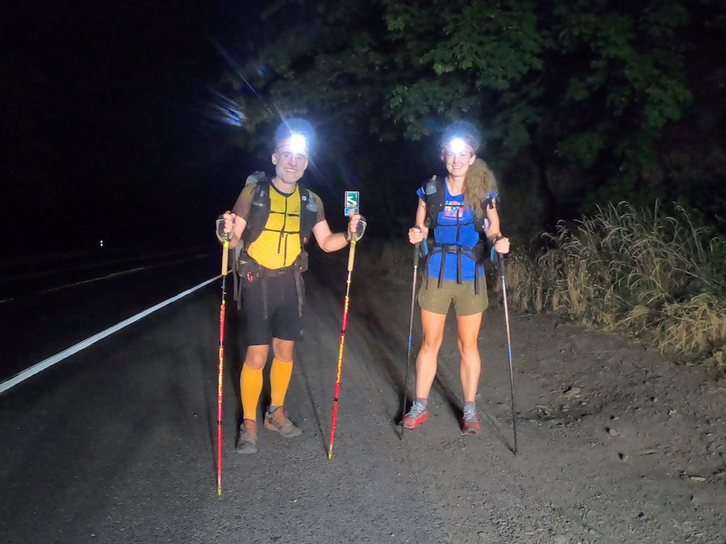
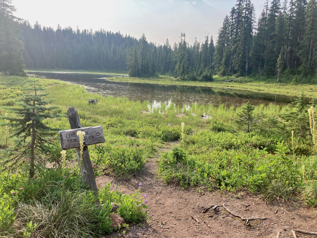
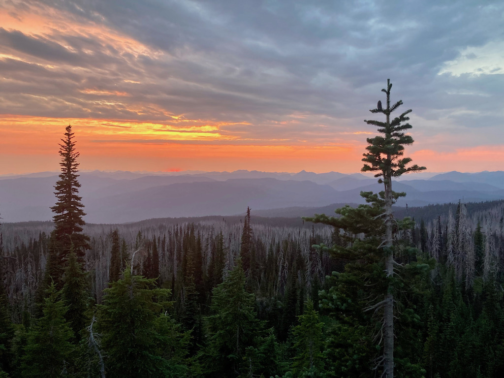
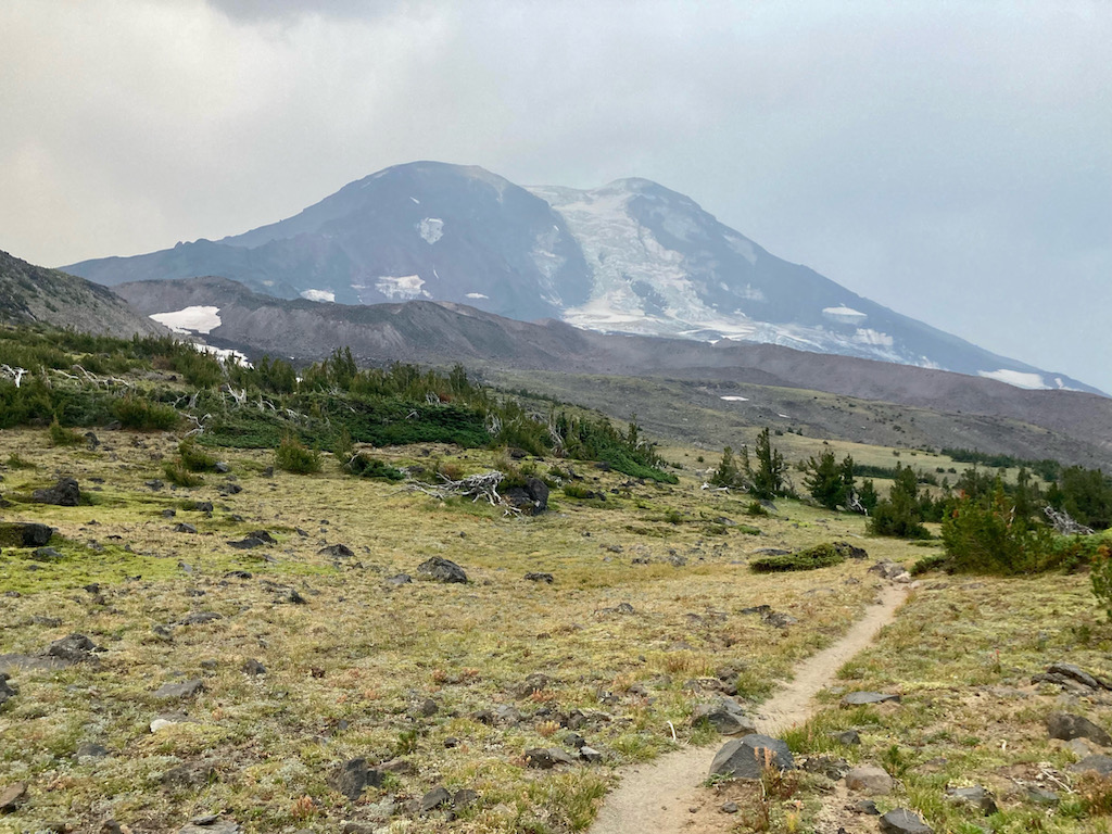
Impressions from the Route


FAQs
- What’s in for me if I complete this route? Fame. Pure fame.
- How can I announce an attempt? Use your personal Facebook, Twitter, Instagram, or post in some running-related group/forum/page.
- How can I submit my data to be listed on this page? Use this form.
- Do I need to write up a trip report? No, it’s not mandatory. Yet, reports allow to share knowledge and to inspire others, so they are encouraged.
- Do I need to carry a satellite tracker? No, but you need to submit solid evidence that you completed the challenge. A GPS track (e.g., recorded with GaiaGPS) provides reasonable evidence. So do links to Strava or other activity websites. And of course photos and movies will provide additional evidence.
Disclaimers
- Records are not verified. The burden of proof is solely on the individual or team. Thus, the more documentation you can provide, the better. See http://fastestknowntime.com/verification for more info.
- The information provided on this website does not identify possible dangers. When you are attempting this challenge, you assume responsibility for your own actions and safety.