The people of Seattle have the Issy Alps routes. The people of Portland now have the Hatfield routes. Are you training for some epic race? Are you an elevation gain junkie? Or are you in desperate need to test your endurance? Don’t be a sIssy, look no further and throw your hat into the field!

The Hatfield Challenge Series (HCS) offers a total of four distances in the Columbia River Gorge: 50 km, 50 miles, 100 km, and 100 miles. The routes were designed with the following criteria in mind:
- Follow as much as possible the Mark O. Hatfield trail that spans the Mark. O. Hatfield Wilderness between Larch mountain and Mount Defiance. For an interactive map of the wilderness, see here.
- Start/finish at the same trailhead to keep the logistics simple.
- Start/finish at a trailhead that allows overnight parking, isn’t chronically crowded, has no fees, and has some facilities.
- Maximize the elevation gain.
- Allow people to “downgrade” to a shorter route if necessary.
- Avoid out-and-backs and roads.
The result are four gnarly routes that start/finish at the Starvation Creek trailhead. Each of them climbs Mt. Defiance, the highest peak in the Columbia River Gorge, twice. A single climb is just short of 5,000ft.

Overview map that shows all four routes. Click to make it larger. For an interactive map, see below. The interactive maps allows you to see routes individually.
Routes
| Distance | Actual distance | Elevation gain | GPS track | Maps |
| 50km | 36mi (!) | 12,303ft | gpx | kml | Gaia | Google |
| 50mi | 52mi | 18,425ft | gpx | kml | Gaia | Google |
| 100km | 66mi | 22,451ft | gpx | kml | Gaia | Google |
| 100mi | 99mi | 35,105ft | gpx | kml | Gaia | Google |
Guidelines
- This is not a race. You do not need to register or qualify or anything. There are no fees. Anyone can do it anytime of the year.
- The clock starts when you leave the Starvation Creek trailhead and stops when you are back at the trailhead again.
- You must follow one of the four routes (see above).
- You pick your direction, although the suggestion is to complete the Mark O. Hatfield trail sections first. That will also allow you to “downgrade” to a shorter route if you realize you cannot complete the longer one.
- A challenge can be done individually or in teams. If completed in a team, all team members must do all parts of the route. Relays do not count.
- The clock does not stop if the individual or team sleeps, rests, etc.
- A challenge must be completed in a single push. Sleep, rest, etc. along the route are allowed. No leaving the route and returning.
- Crews and stashing of gear, food, and water are allowed. All stashes must be retrieved.
- The challenge can be completed in an unsupported, self-supported, or supported way.
- Announcing your intentions is encouraged, but not mandatory.
- The challenge must be tracked and documented.
- All wilderness regulations as well as Federal, State, and Local laws must be strictly followed.
- Strict leave-no-trace backcountry ethics must be followed.
Results
All reported and documented attempts, completions, Only Known Times (OKT), and Fastest Known Times (FKT) that followed the above guidelines shall be listed in the following Google spreadsheet:
https://docs.google.com/spreadsheets/d/11yU9u2Mj7Y13FvRb0zPPI2KrTJX9FsIlzM-pbJj7PMk
You are of course encouraged to submit your time(s) to the FKT site as well.
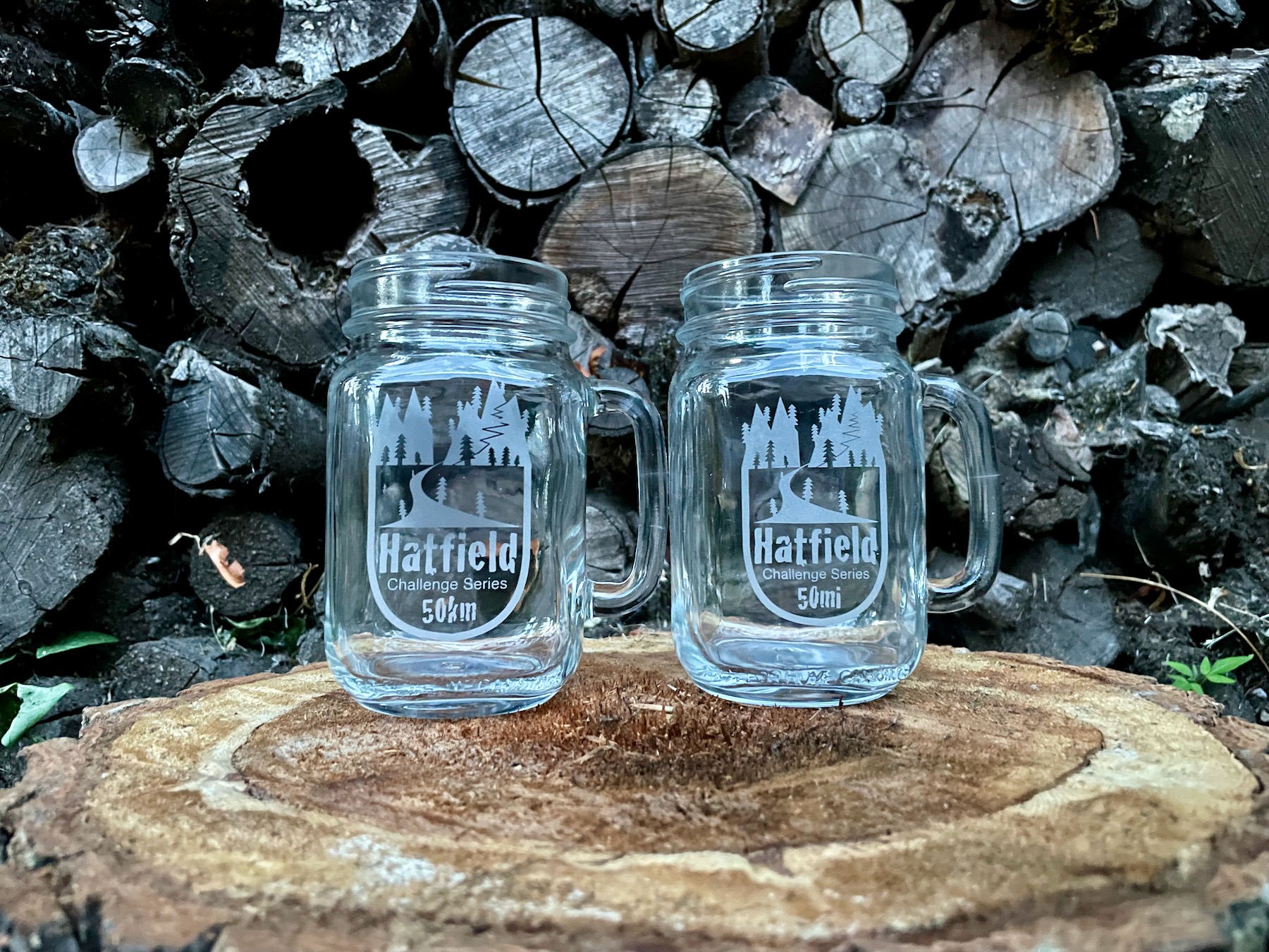
Trophy
Everybody who successfully completes one of the four Hatfield routes (50km, 50mi, 100km, or 100mi) will get a custom-edged mason jar with the logo of the completed distance. The mason jars will happily serve your favorite drink while you recover from your successful attempt. They also come with bragging rights included.
I’ll continue to offer trophy mason jars as long as supplies last.

The trophy.
FAQs
- How can I announce an attempt? E.g., contact me and I’ll post here or use your personal Facebook, on Twitter, or in some running-related group/forum/page.
- How can I submit my data? Use the form at the end of this page to submit your attempts and completions. And as said above, you are of course encouraged to submit your time(s) to the FKT site as well.
- What map do you recommend? National Geographic Columbia River Gorge or Green Trails Columbia Gorge West.
- Should I carry a map? Definitely!
- Can I do a shorter route even though I initially announced a longer one? Sure, what matters is what you complete.
- Do I need to write up a trip report? No, it’s not mandatory. Yet, reports allow to share knowledge and to inspire others, so they are encouraged.
- Do I need to carry a satellite tracker? No, but you need to submit solid evidence that you completed the challenge. A GPS track (e.g., recorded with GaiaGPS) provides reasonable evidence. So do links to Strava or other activity websites. And of course photos and movies will provide additional evidence.
- How close do I have to follow a route? Think of it as a race. While the course is not marked, you still have to complete every part of if to qualify for a finish and a glass. If you take a wrong turn or get lost, you must go back to where you got off course and continue from there.
- Do I really have to summit Mt. Defiance twice? Almost. The 2nd time you climb it from Wyeth, the route technically leads you just below the summit on the north side. I mainly did that so that you have a change of scenery/route and because the actual summit is not actually the nicest part. Of course you are free (and I would say even encouraged) to summit twice by following the same route you came up initially.
- How and when will I get my mason jar? Leave your mailing address in the form below when you submit your completion record. I will then mail you your glass as soon as possible. Note that this may take a couple of weeks, so please don’t expect your trophy the next day.
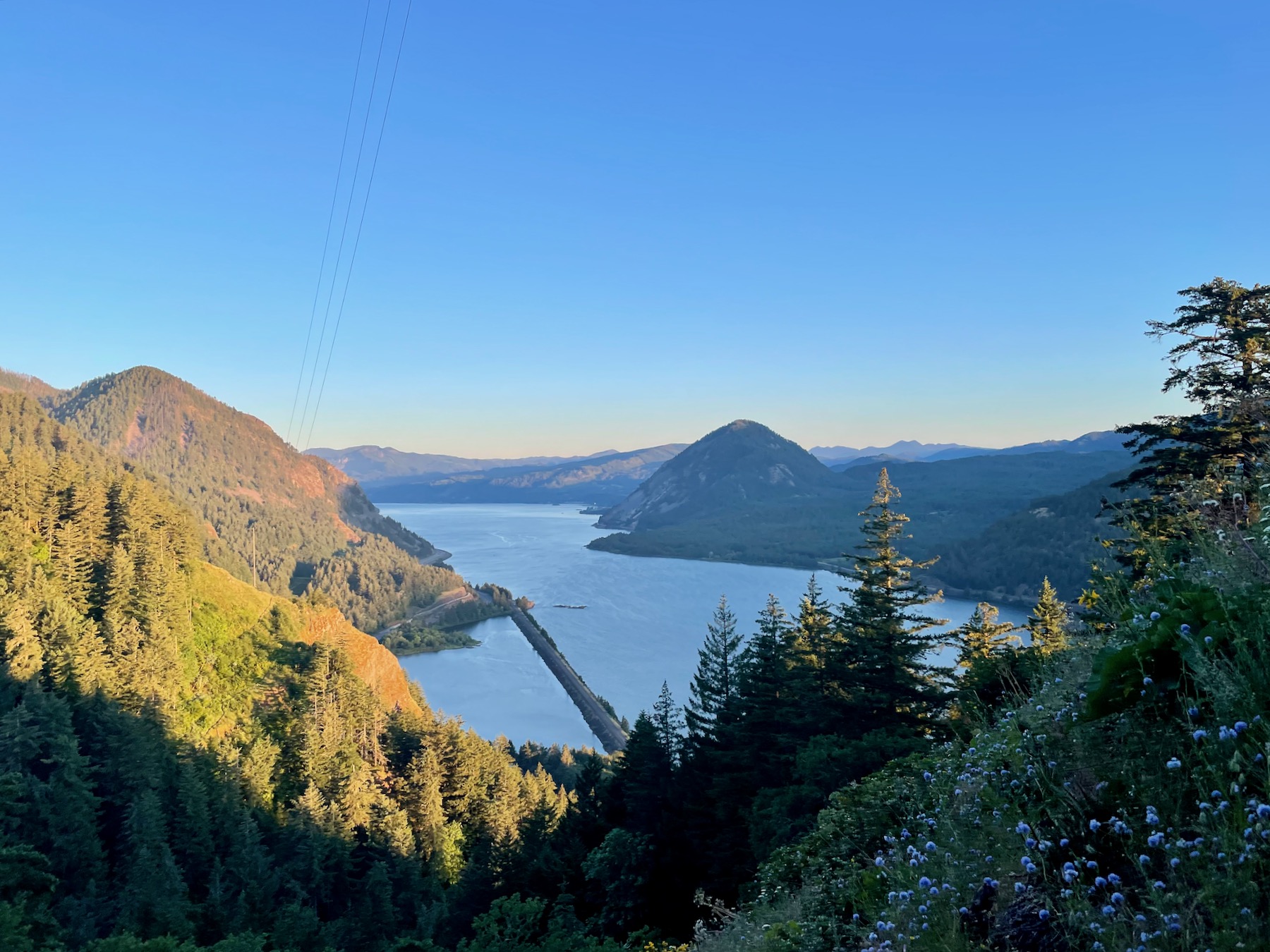
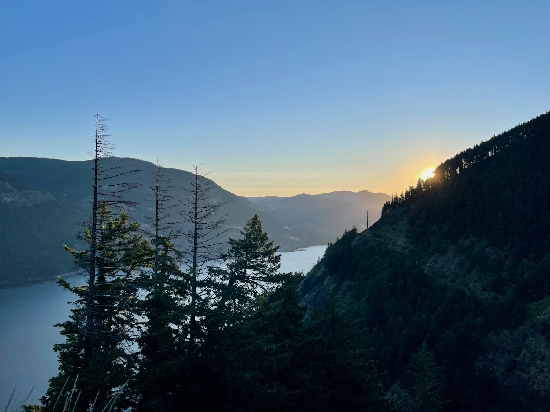
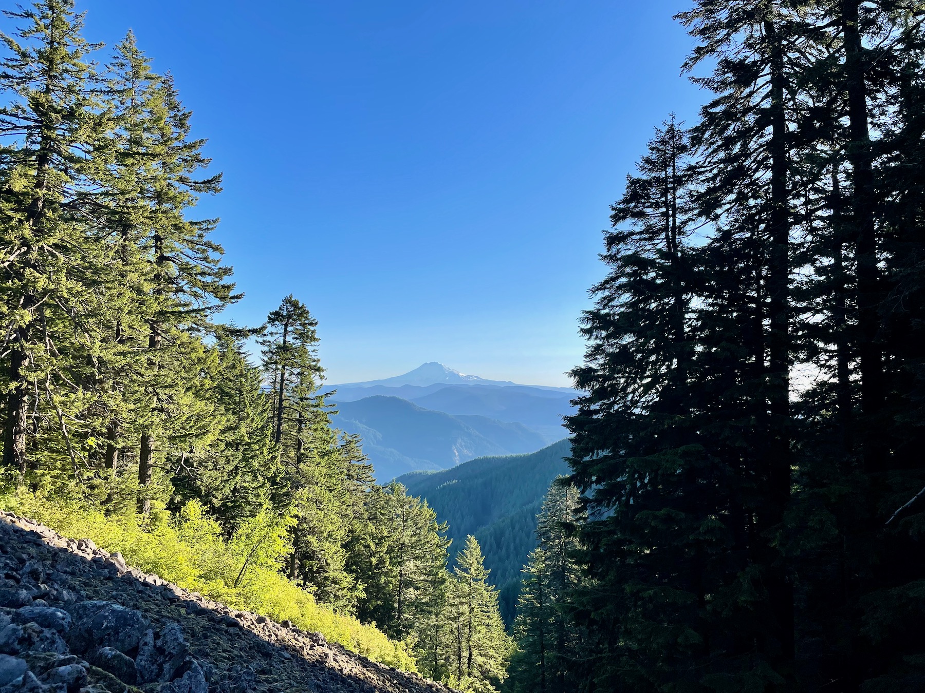
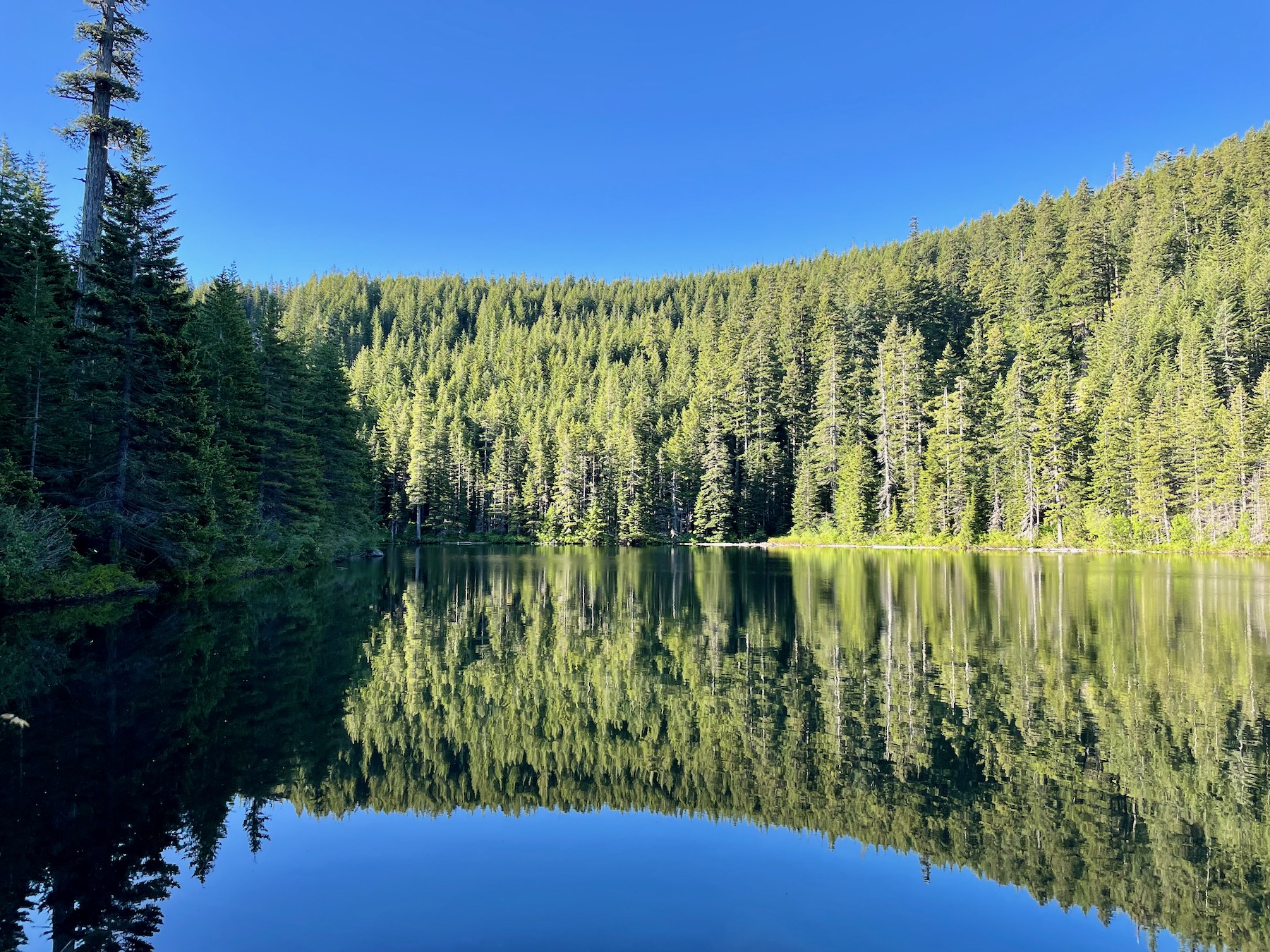
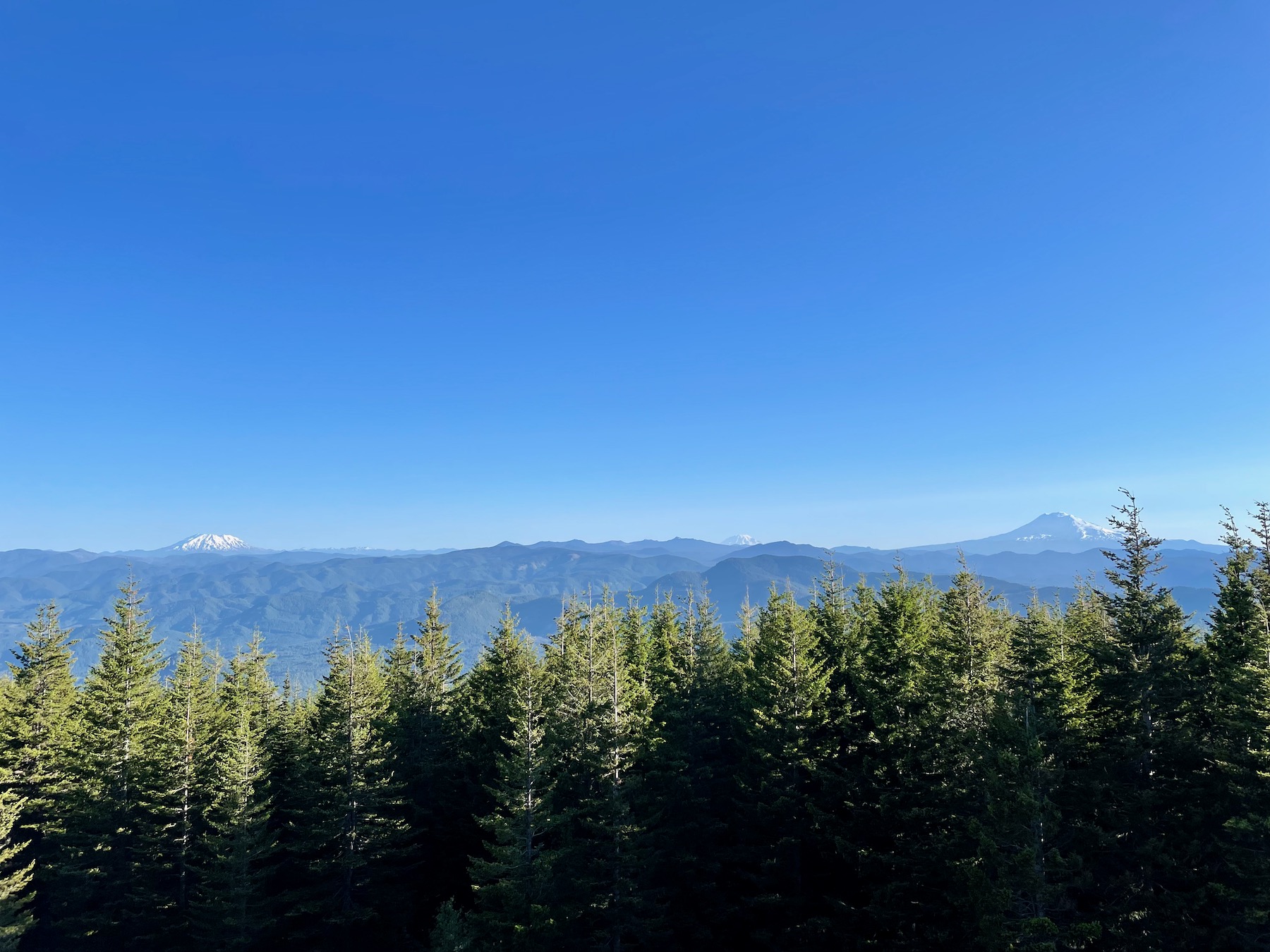
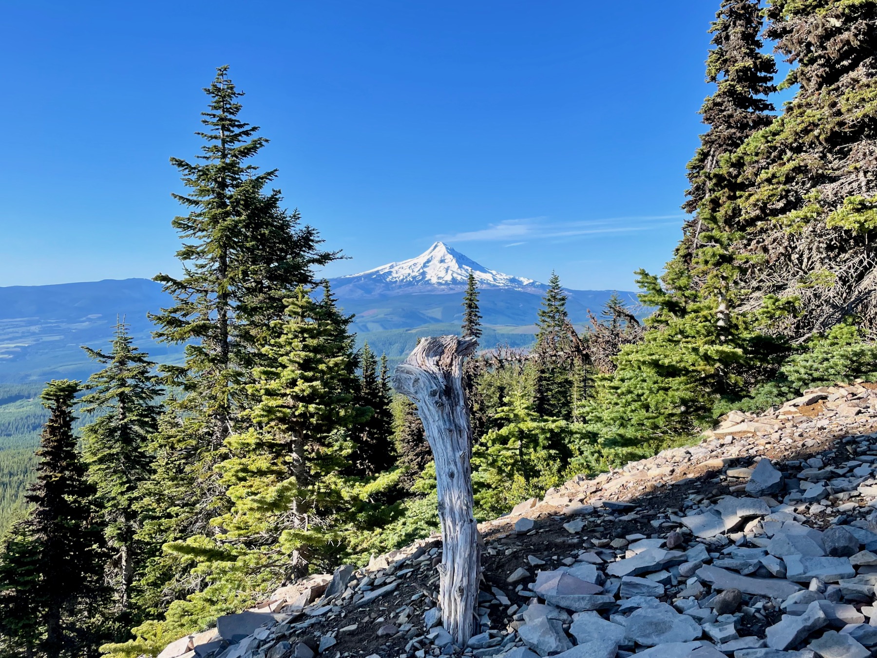
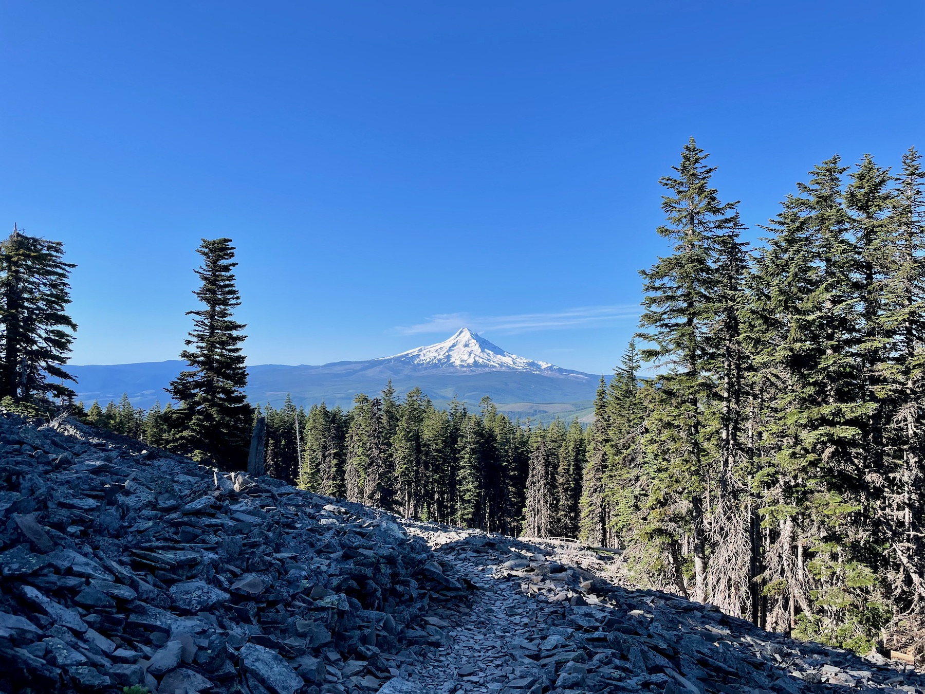
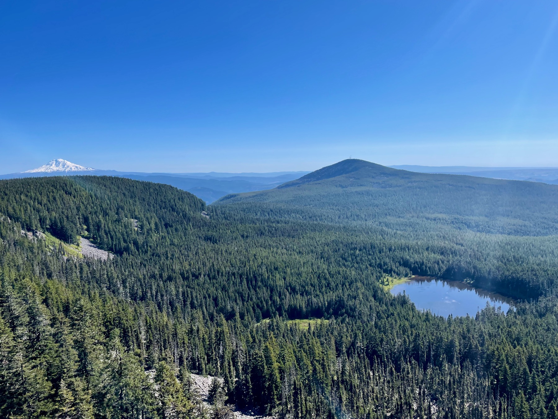
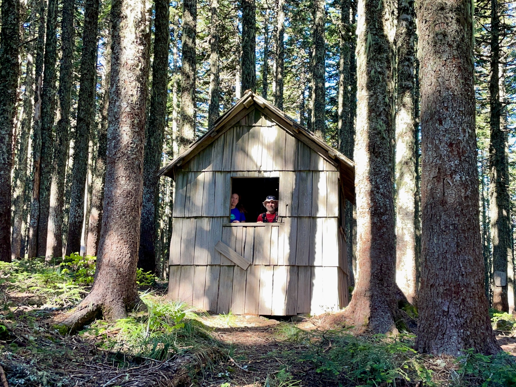
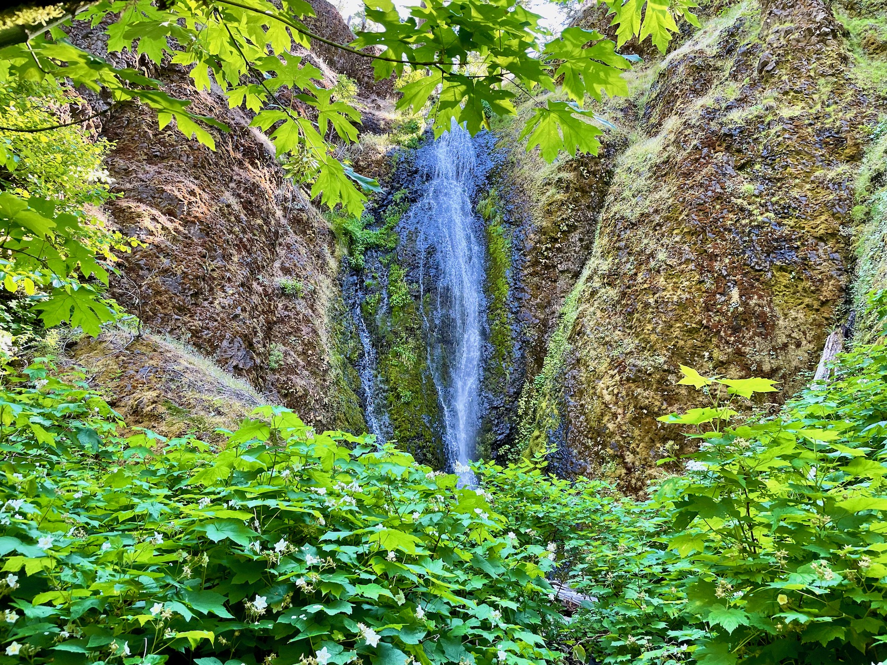
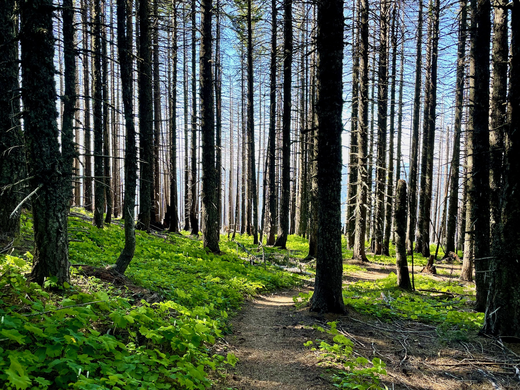
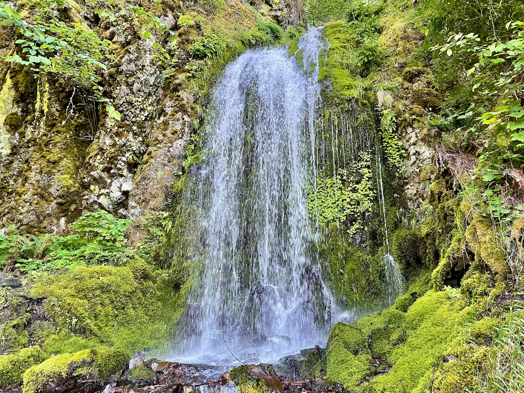
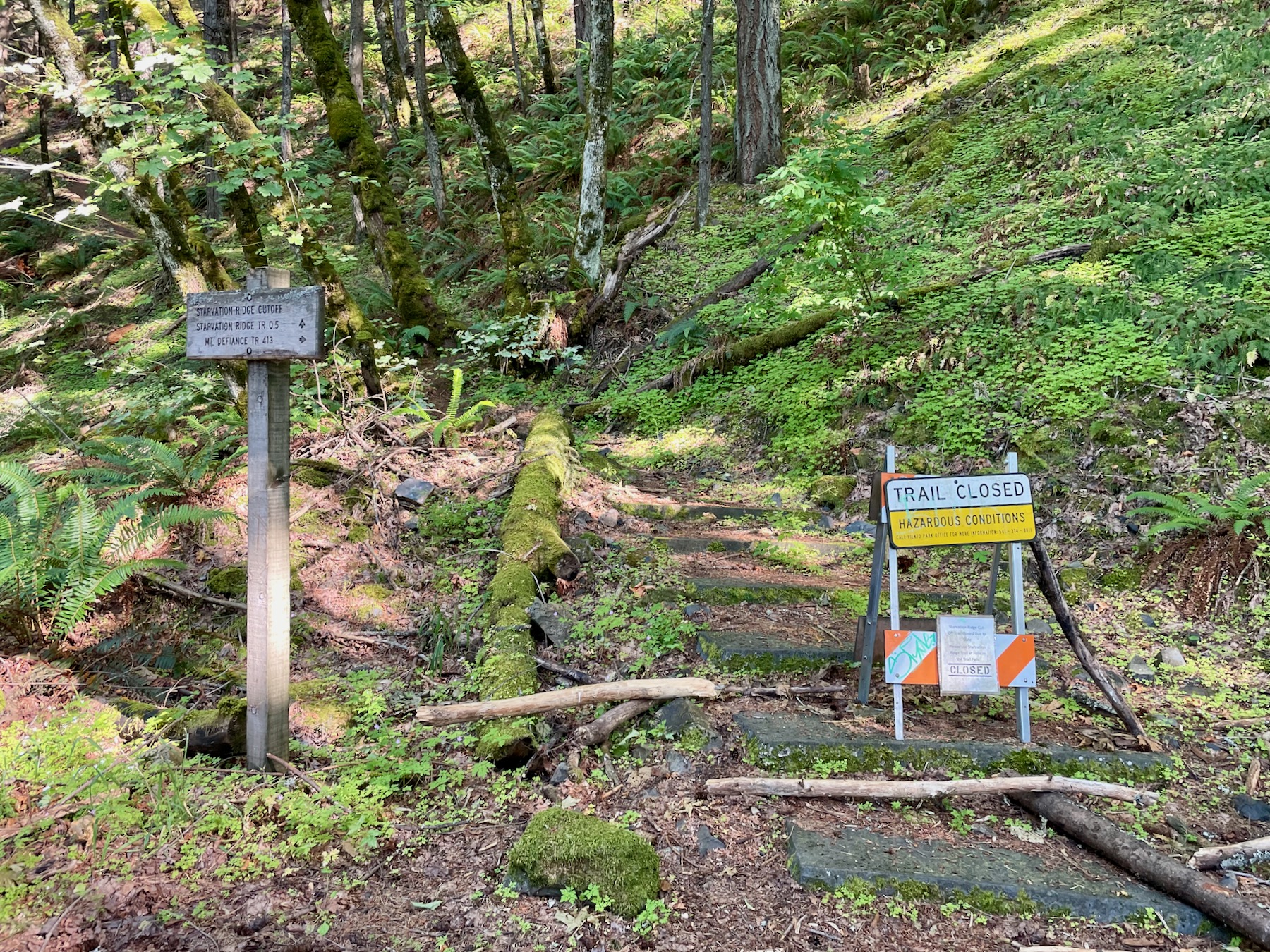
Impressions from the 50k Route

Stay Informed and Connected
Disclaimers
- Records are not verified. The burden of proof is solely on the individual or team. Thus, the more documentation you can provide, the better. See http://fastestknowntime.com/verification for more info.
- The information provided on this website does not identify possible dangers. When you are attempting one of these challenges, you assume responsibility for your own actions and safety.
Submit your Attempts and Completions
Click here to get to the form.